TerraVisa
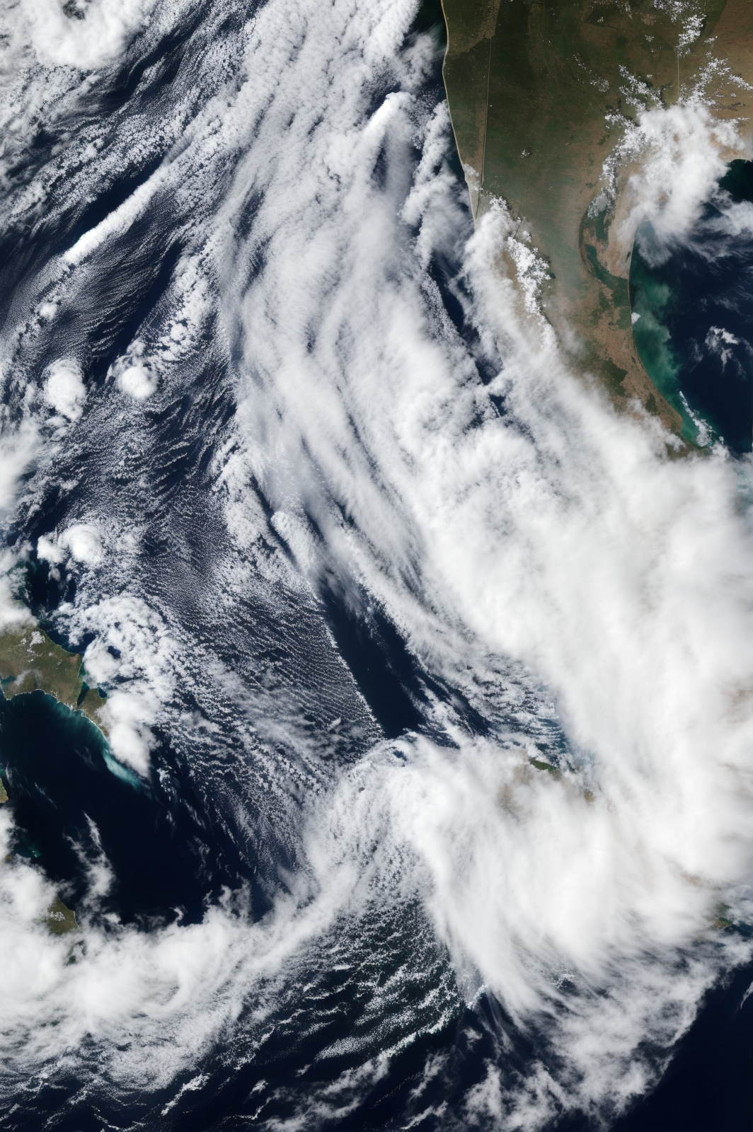
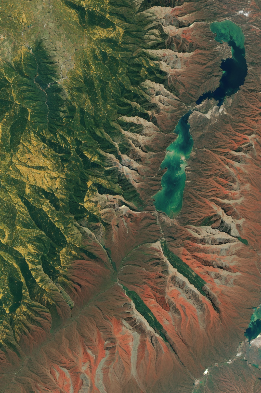
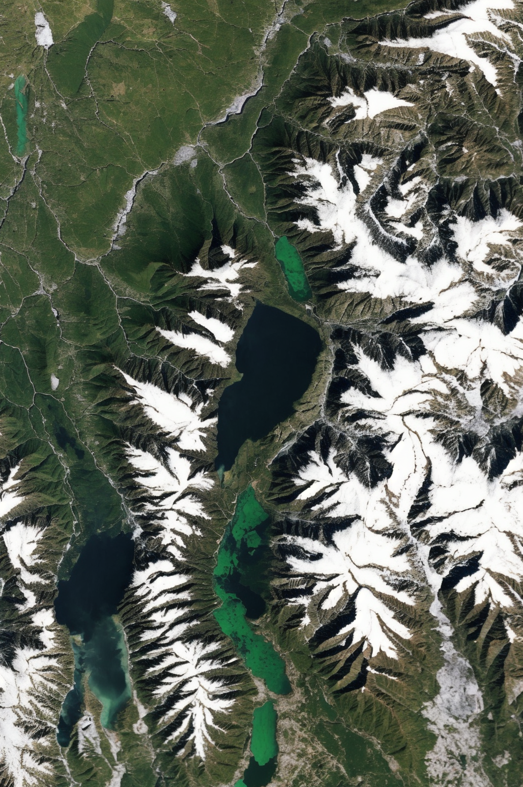
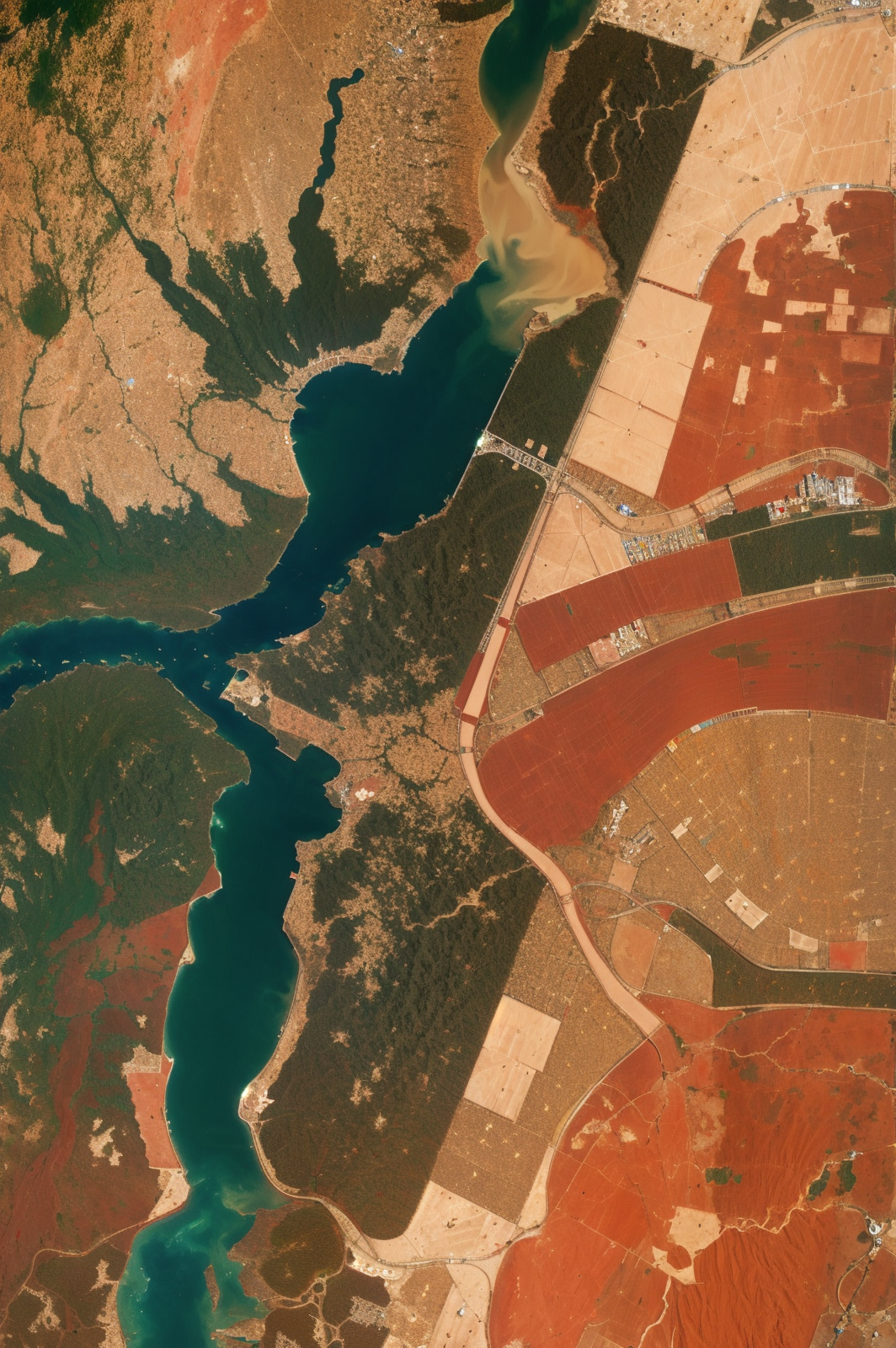
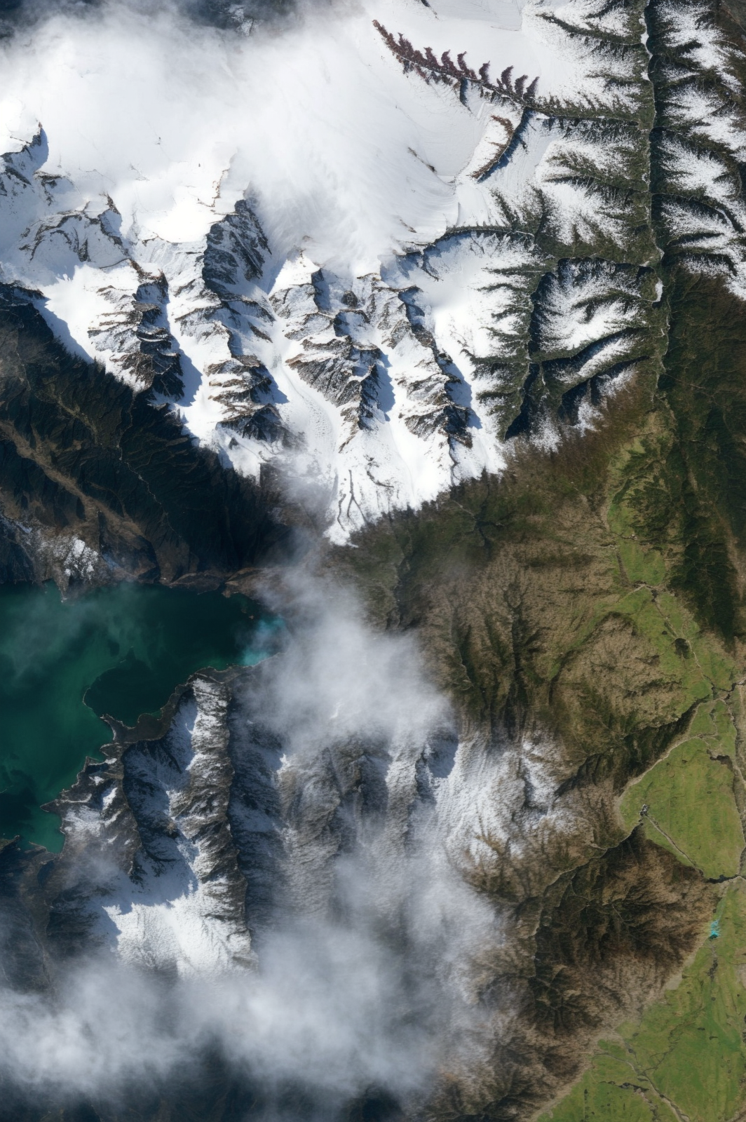
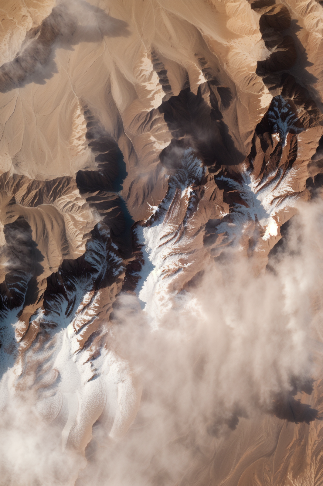
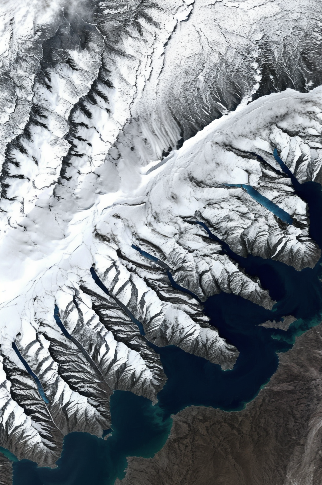
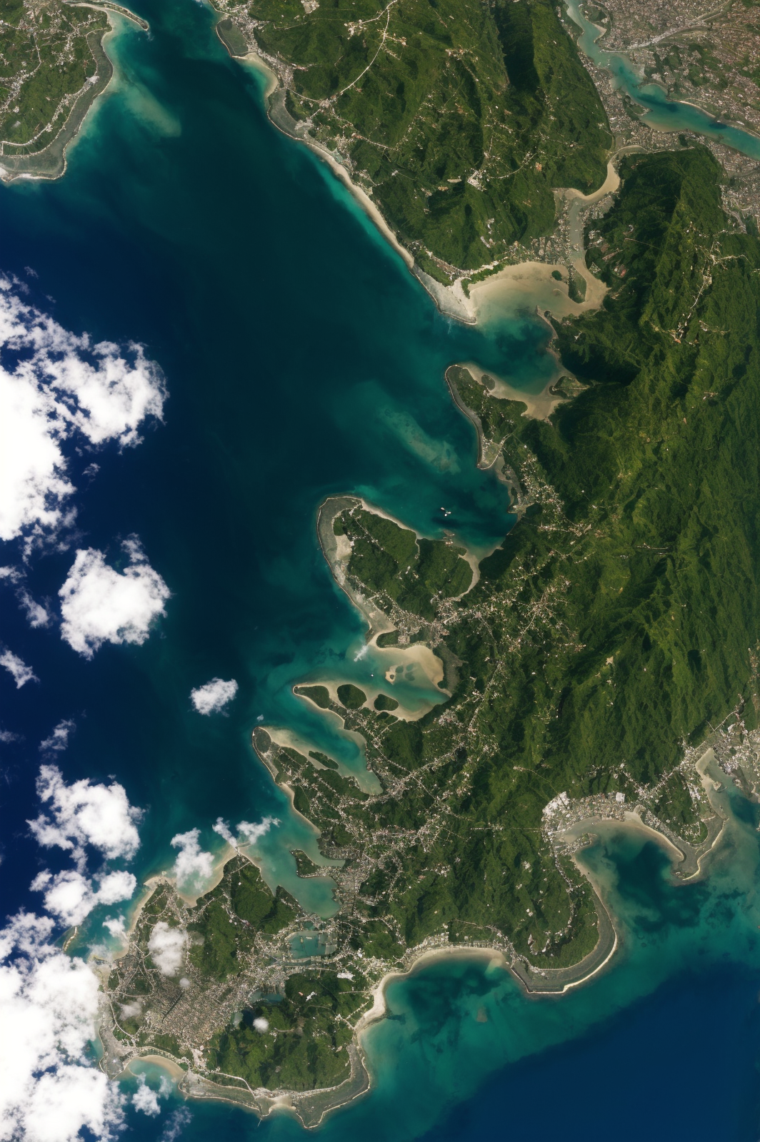
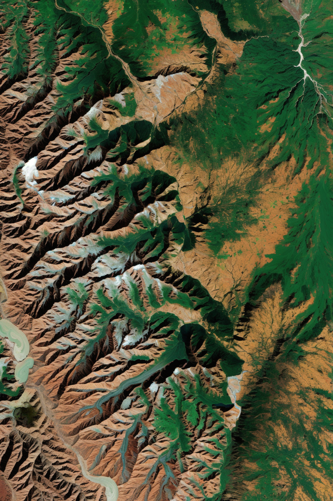
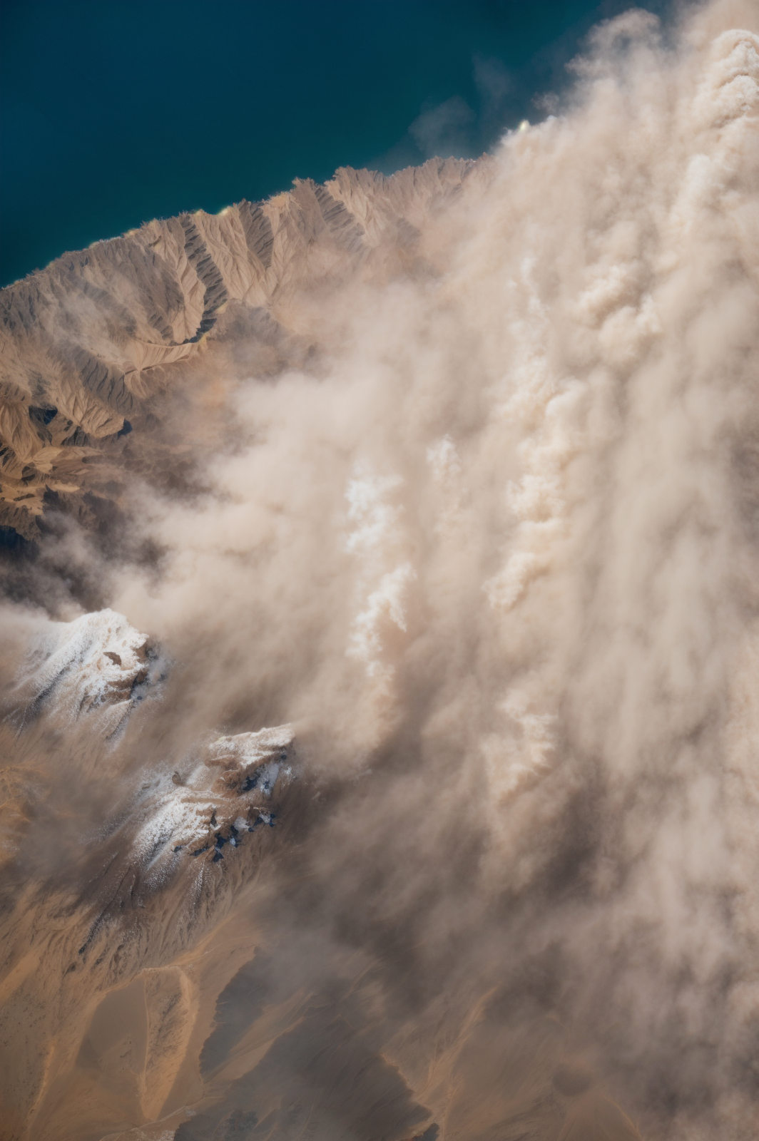
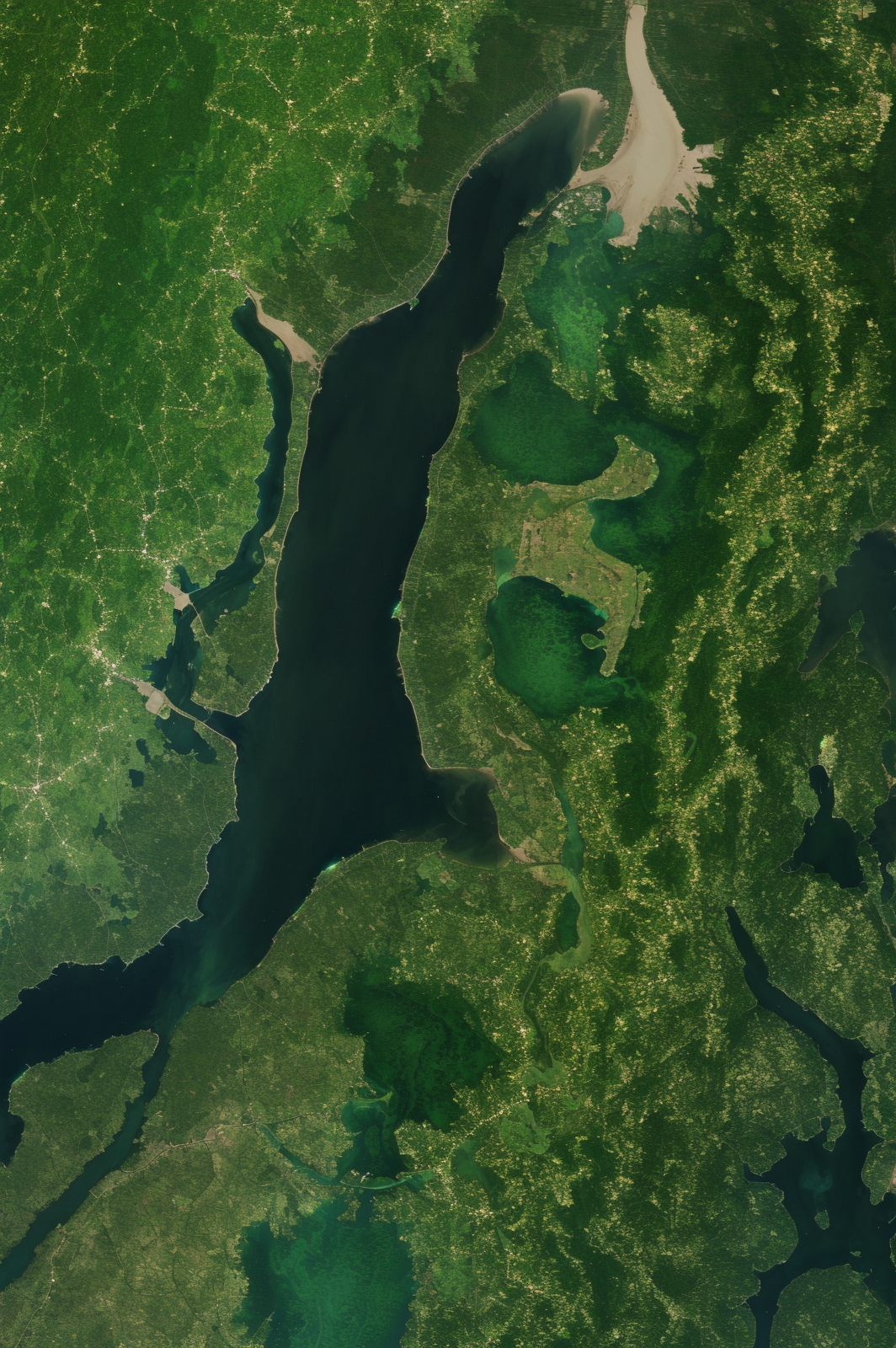
TerraVisa is a LoRA trained on large satellite images from the NASA Earth Observatory. It creates photorealistic satellite view images that look like our Earth!
The result is very specific "style" that really also encompasses your entire subject. It takes up the whole image and likely won't be compatible with other visual elements - but the results can be stunning!
Usage Tips
I recommend CyberRealistic as the base model.
High Resolution fix enabled.
Most of NASA's satellite images are huge, so I recommend turning image resolution up. The LoRA was trained with max resolution of 1800x1176, and most of my test images were generated at 1600x1064.
The trigger is "nasa3sat" although it should also understand how to use the LoRA if you use descriptors like "satellite image of".
The training dataset used generic terms in captions, not specific locations (for example, "lake" instead of "Lake Superior"). Some examples include:
land, water, snow and ice, glacier, oceans, lakes, rivers, deltas, severe storms, clouds algae bloom, floral bloom, human presence, farmland, cities, islands, coastlines, fires, volcanoes, smoke and ash, dust and haze
LoRA currently cannot reliably create night time views. Undecided on whether or not to fix this in a future version - nighttime shots of earth are arguably their own specific thing since they can only really be taken of cities. Might also just try to do a separate LoRA for those.
Description
FAQ
Details
Available On (1 platform)
Same model published on other platforms. May have additional downloads or version variants.