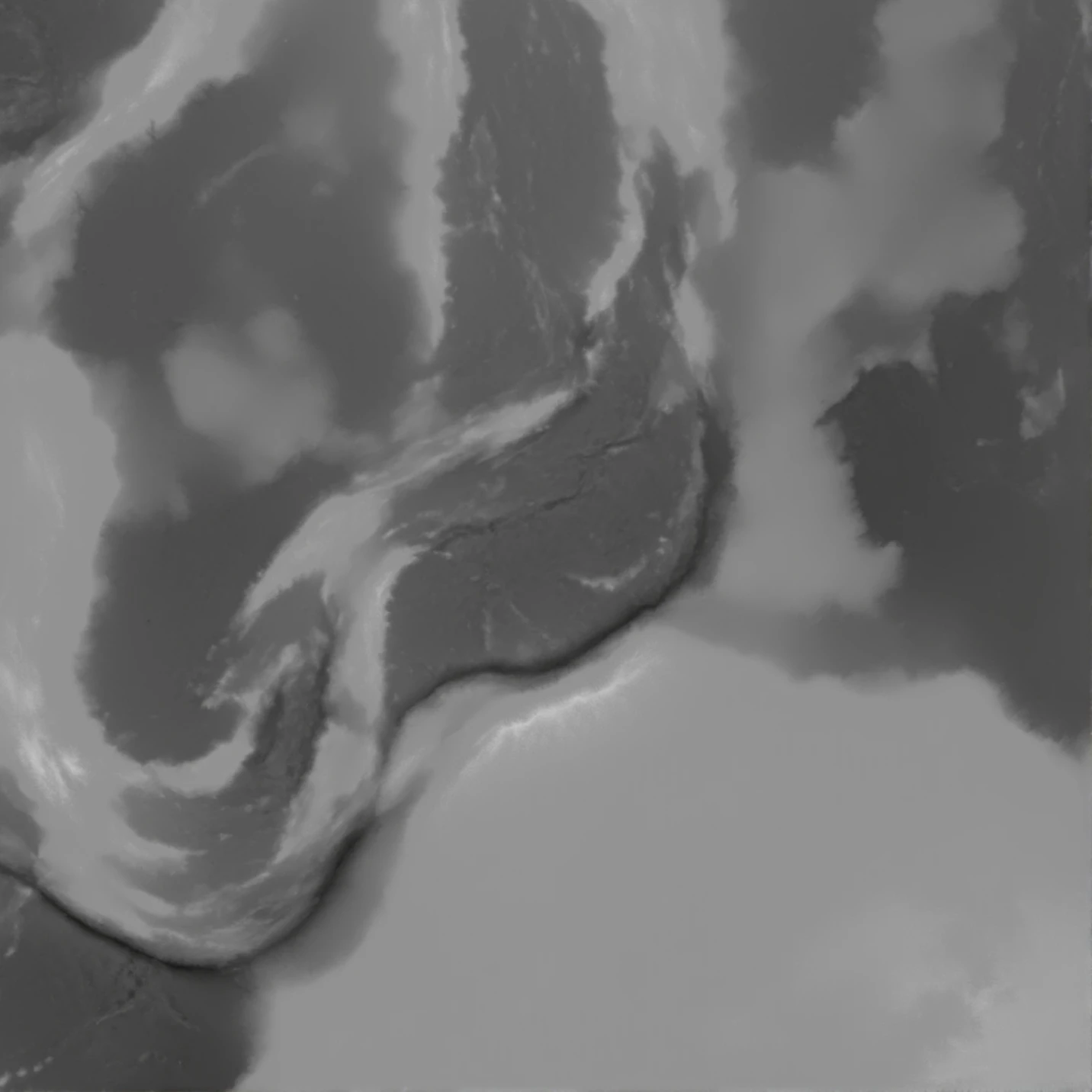
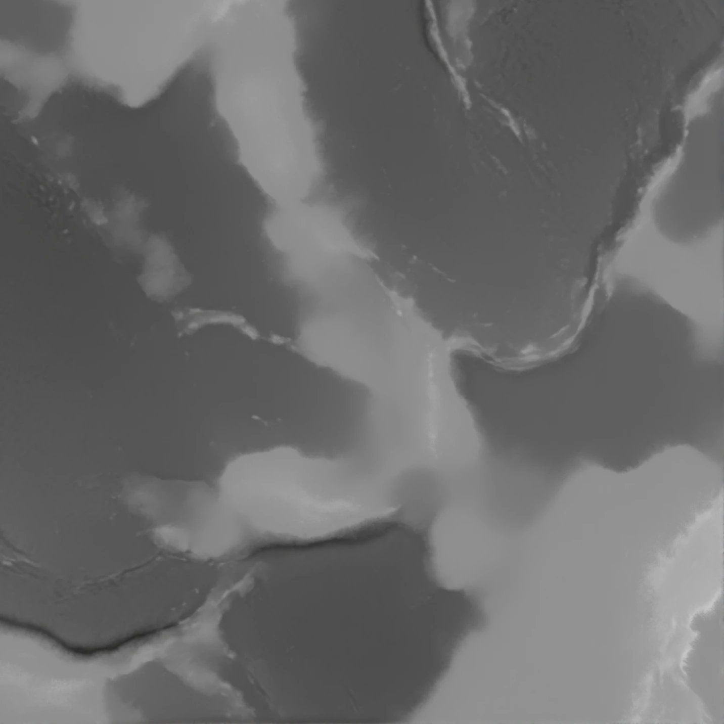
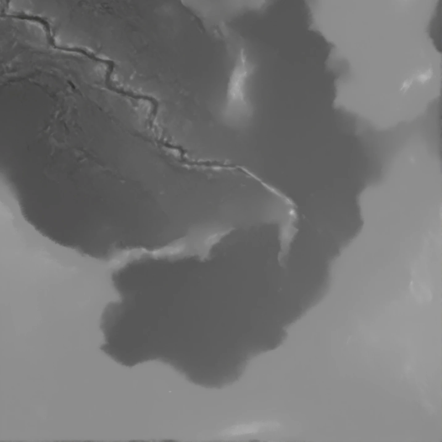
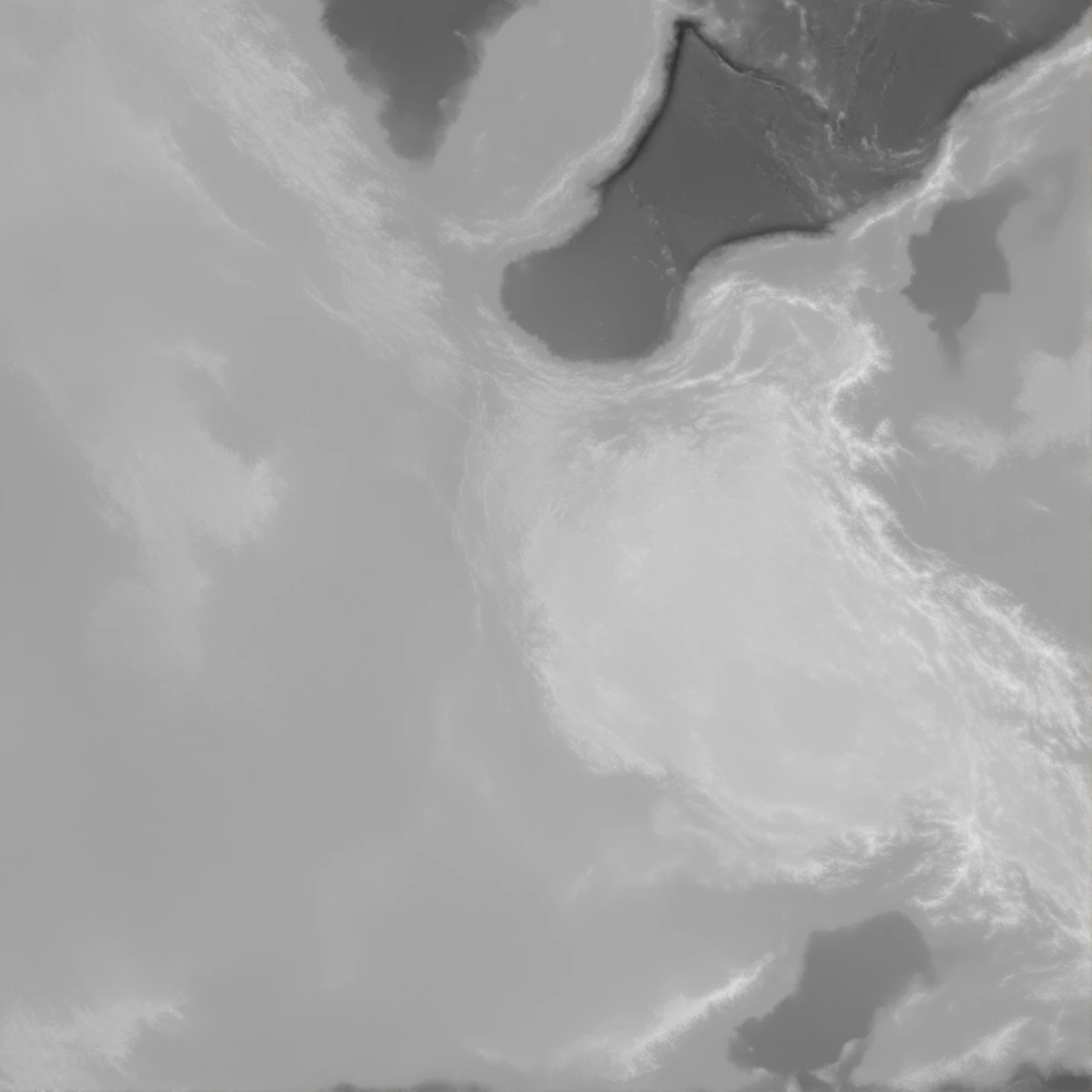
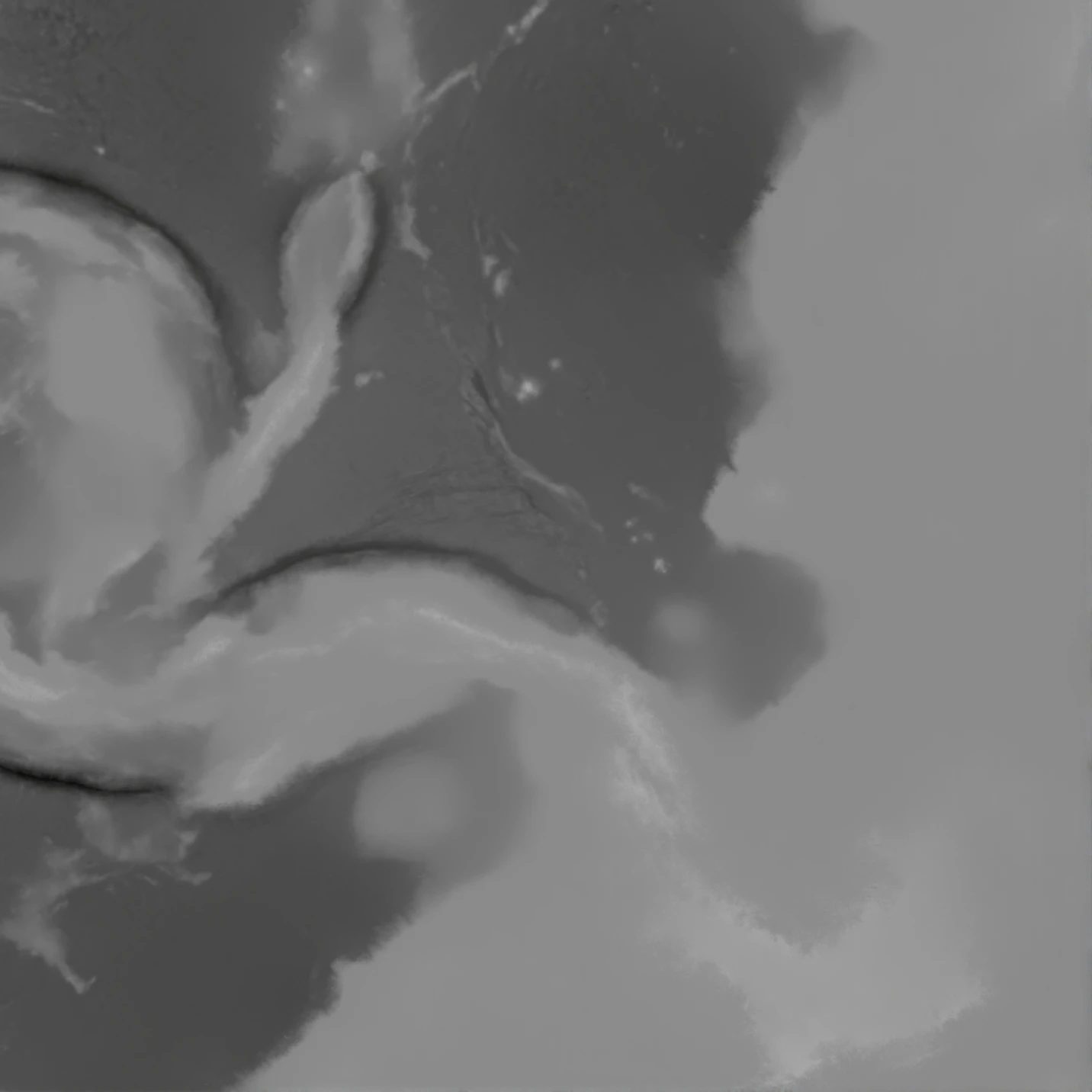
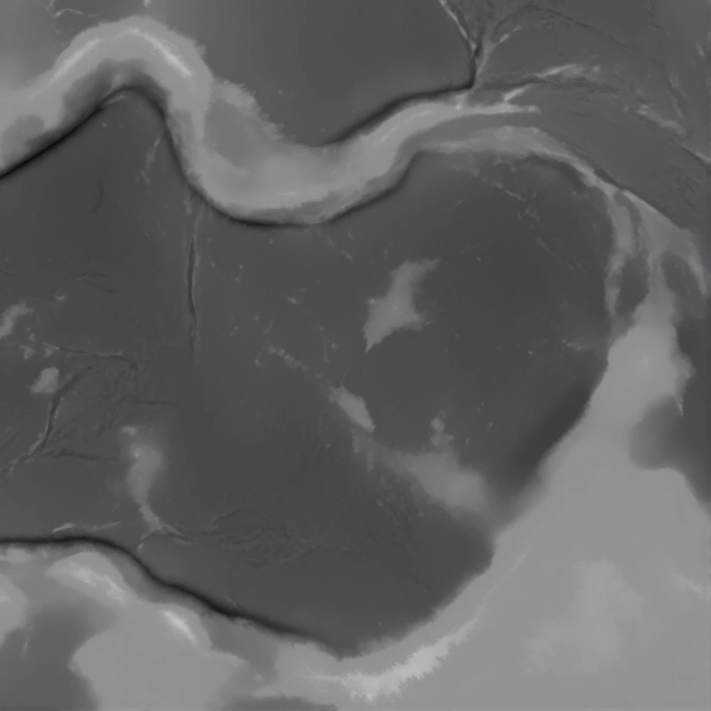
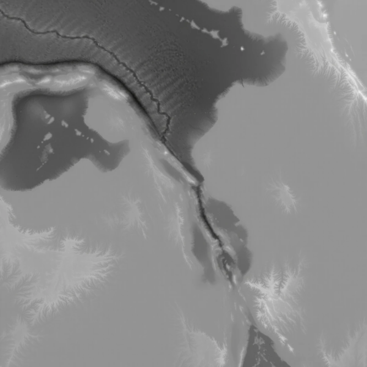
An attempt to output grayscale 8bit DEM from flux.
GEBCO 2022 Grid covering the entire Earth was used.
v9 is a vast improvement from the old versions.
Spreading centers, subduction zones, mountain ranges, all good.
Weight=1.7. Less for oceanic. More for continental.
Best with dedistilled FLUX-dev checkpoints.
Otherwise, you will get low-fidelity output.
Description
Better topographic expressions.
FAQ
Details
Downloads
222
Platform
SeaArt
Platform Status
Available
Created
9/15/2024
Updated
10/19/2024
Deleted
-
Trigger Words:
A grayscale image. A 5000 km wide demflux topographical relief map showing the area which consists of continents and ocean basins. The image is in extremely high resolution and crispy. The detail of the image is immense. The overall composition is bold and dynamic, but not cluttered. Various curvy features are the theme of the image and are elegant. There are trenches and spreading centers in the ocean basins. Several mountain ranges in the continents.
Files
Available On (1 platform)
Same model published on other platforms. May have additional downloads or version variants.